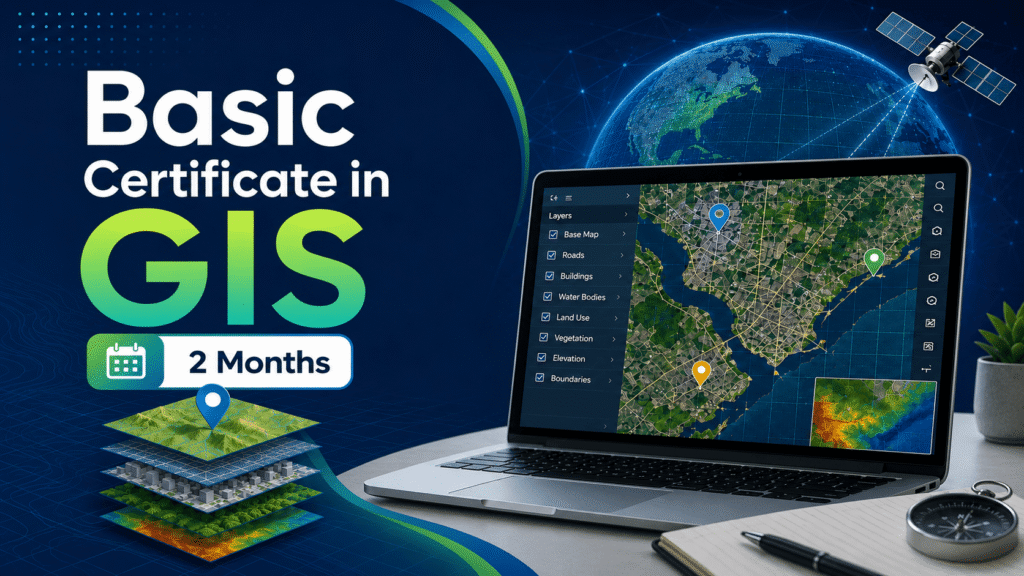
Basic Certificate in GIS – 2 Months
Course Overview
Detailed course information will be updated shortly.
Syllabus / Course Highlights
- Introduction to GIS and geospatial technology
- Understanding maps, layers, and spatial data
- Working with vector and raster data
- Basic digitization and editing
- Attribute table management
- Coordinate systems and projections
- Basic spatial analysis
- Map layout preparation and export
Eligibility
Graduate