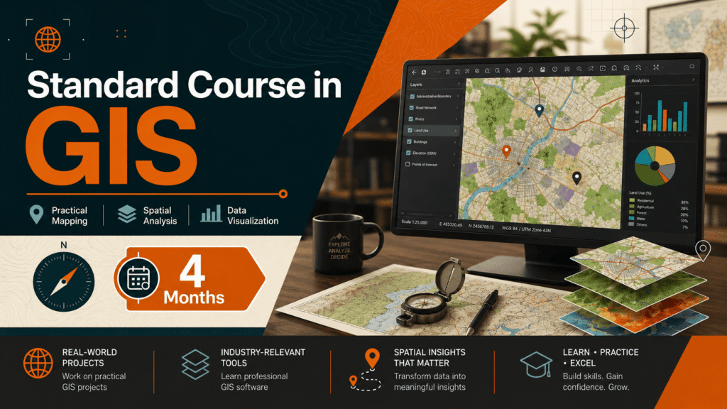
Standard Course in GIS (4 Months)
Course Overview
Detailed course information will be updated shortly.
Syllabus / Course Highlights
- The Standard Course in GIS is a practical, career-focused training program designed for learners who want to build strong working knowledge of Geographic Information Systems. This course covers essential GIS concepts along with hands-on practice in digital mapping, spatial data handling, map analysis, and professional map preparation.
- During this 4-month program, students learn how to work with different types of geospatial data, manage map layers, perform spatial analysis, create thematic maps, and prepare GIS outputs for real-world projects. The course is suitable for students, graduates, survey professionals, planners, and working professionals who want to improve their technical skills in GIS.
- Key Learning Areas:
- Fundamentals of GIS and geospatial data
- Working with vector and raster data
- Map digitization and data editing
- Coordinate systems and projections
- Attribute data management
- Spatial analysis and geoprocessing tools
- Thematic mapping and map visualization
- GPS data integration
- Land use and infrastructure mapping
- Professional map layout and report preparation
- Best For: Students, fresh graduates, surveyors, planners, engineers, researchers, and professionals looking to develop practical GIS skills for academic, industrial, and project-based work.
Eligibility
Graduation